Map of Albany
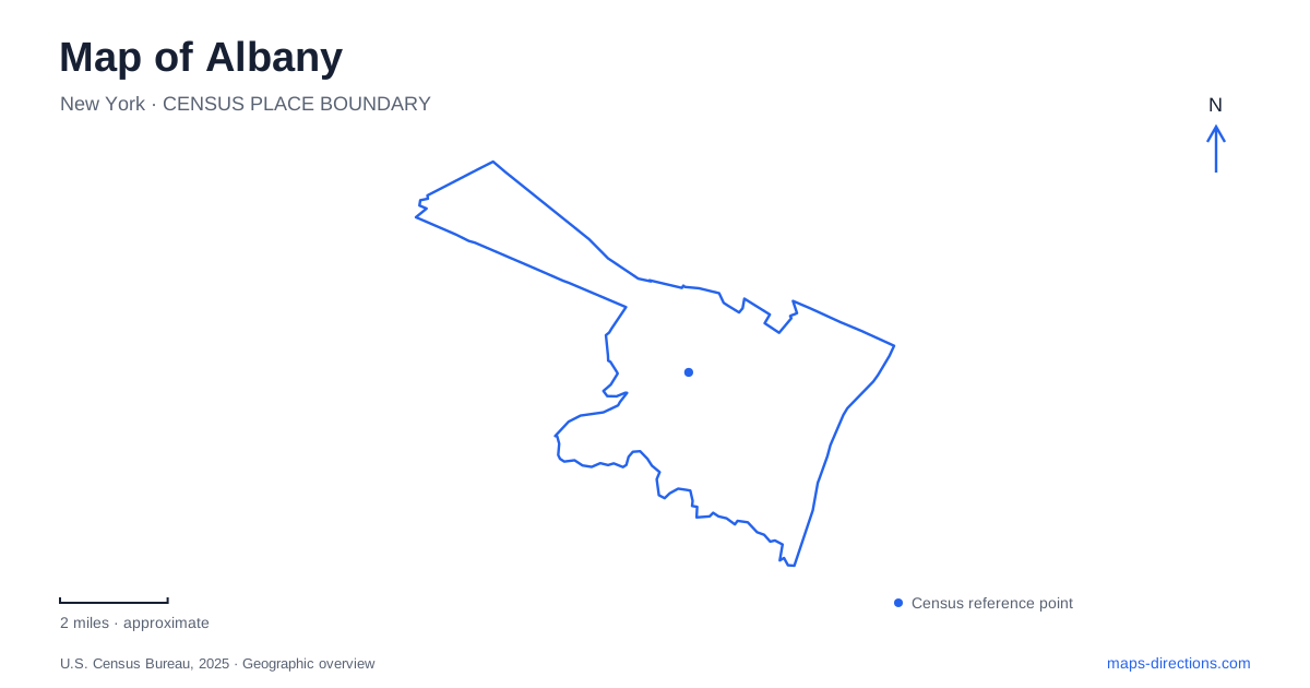
Street tiles load from OpenStreetMap when opened. The blue line shows the 2025 Census boundary.
- State
- New York
- Population · July 2025
- 101,698
- Land area
- 21.4 sq mi
- Water area
- 0.5 sq mi
Albany's central map is organized by a powerful contrast: the state-government complex occupies large formal spaces, while nearby streets preserve a much smaller urban grain. The Hudson River adds a second organizing feature, with dedicated pedestrian connections linking downtown to the waterfront. Farther inland, Washington Park and the Pine Bush introduce very different green landscapes. Following these contrasts makes it possible to understand the city through its structure rather than as a list of government buildings and museums.
The Capitol, plaza, and underground concourse
The Empire State Plaza map identifies the Capitol at the northern end of the complex, with the State Museum and Archives toward Madison Avenue. Corning Tower and the Egg provide two distinctive landmarks within the larger arrangement. Eagle Street and Swan Street help locate the complex within the surrounding road network, while State Street and Madison Avenue give it clear northern and southern references.
The plaza also has more than one pedestrian level. An underground concourse connects major destinations, while the outdoor plaza contains reflecting pools, sculpture, and memorials. A surface map alone cannot fully describe this circulation system. Elevators and concourse exits are part of the route between buildings, especially when an itinerary moves from an outdoor memorial to an interior destination.
For Albany, this concentration of public architecture creates a recognizable civic center whose scale differs sharply from the adjacent blocks. The official plaza-level and concourse maps are complementary: one explains the open spaces and buildings, while the other explains movement beneath them.
Reaching the Hudson from downtown
The Skyway begins near Clinton Avenue and Broadway, where a former Interstate 787 exit ramp was converted into an elevated park and pedestrian connection. It leads from the downtown streets to the Hudson riverfront and Corning Preserve. The reuse of a highway ramp is central to its geographic role: infrastructure once designed for motor vehicles now carries people toward the water.
The waterfront can also be approached through the Hudson Riverway pedestrian bridge. The tourism bureau describes a walk from the Skyway through Corning Preserve to Jennings Landing, then back downtown across that bridge. These two crossings make it possible to think of the riverfront as part of a circuit rather than as an isolated destination reached by returning along the same path.
The river and highway are both visible organizing features here. The pedestrian links explain how downtown overcomes the separation between its streets and the shoreline. On a map of Albany, showing those connections is more informative than simply marking a waterfront park beside the river.
Washington Park and its surrounding streets
Washington Park's historic district includes the park and the properties facing it along State Street, Lake Avenue, Madison Avenue, and Willett Street. These four street edges provide a clear framework for the landscape. They also show that the district includes the relationship between houses and park, not only the green space within it.
Lark Street adds a commercial corridor nearby. The city's streetscape project focused on the stretch between Madison and Washington avenues, and its planning goals included strengthening connections to the park and downtown. This places Lark within a wider pedestrian network: it is both a destination street and a connection between neighborhoods and larger public spaces.
The contrast with Empire State Plaza is instructive. Washington Park is framed by residential streets and a traditional neighborhood fabric, while the plaza groups monumental government buildings around formal open space. Both are major landmarks, but they organize their surroundings in different ways.
A Livingston Avenue address with regional importance
The Stephen and Harriet Myers Residence stands at 194 Livingston Avenue. Built in 1847, it became a headquarters for Underground Railroad activity during the mid-1850s. Surviving records document the work of the Vigilance Committee and the assistance provided to people seeking freedom.
This address adds an essential dimension to Albany's historical geography. Public history is not confined to the Capitol or grand institutional buildings. A residence on an ordinary city street served as a center of organizing and practical assistance. Locating it within an itinerary gives the city's political history a household and community scale, centered on Black abolitionist leadership and the networks that supported freedom seekers.
Sandy terrain beyond the central streets
The Pine Bush Discovery Center at 195 New Karner Road introduces a landscape unlike either the waterfront or the formal parks. The preserve protects inland pitch pine–scrub oak barrens shaped by sandy terrain and wind-formed dunes. Its interpretive exhibits explain geology, plants, wildlife, and the management required to sustain this environment.
The preserve's trails belong to a regional natural area rather than a single downtown park loop. This final change of scale is useful when reading Albany's map: the Hudson connections reveal its river edge, the plaza and neighborhood parks explain the urban center, and the Pine Bush shows a distinctive ecological landscape beyond the central street grid.
Map and statistics: U.S. Census Bureau, 2025 Gazetteer, January 2025 generalized place boundaries and Vintage 2025 population estimates. Local references: New York Office of General Services; Discover Albany; City of Albany; Underground Railroad Education Center; Albany Pine Bush Preserve Commission. Article prepared by Maps & Directions.