Map of Alameda
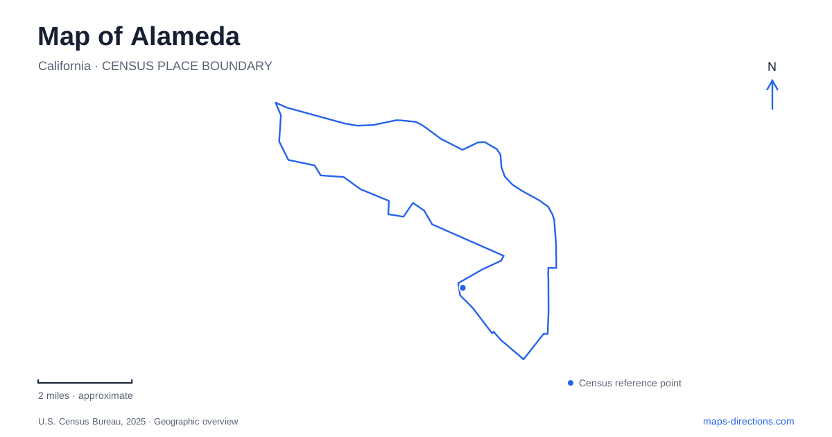
Street tiles load from OpenStreetMap when opened. The blue line shows the 2025 Census boundary.
- State
- California
- Population · July 2025
- 76,876
- Land area
- 10.4 sq mi
- Water area
- 12.6 sq mi
Alameda is easiest to understand by separating its waterfronts before tracing its streets. The estuary-facing edge connects toward Oakland, the southern shore opens onto San Francisco Bay, and Bay Farm has its own relationship to bridges and ferry travel. Park Street and Webster Street supply two established commercial corridors within that geography. At the western end, the former naval landscape around Seaplane Lagoon adds broad waterfront spaces and a different pattern of development from the older residential streets.
Crossings shape the approach
The Webster Street Tube carries southbound traffic into the island, while the Posey Tube carries northbound traffic toward Oakland. They function as a directional pair rather than two interchangeable tunnels. On the island side, Webster Street provides a recognizable continuation into the West End's commercial district. The tube approaches explain why a journey through this part of the city has a different relationship to Oakland's streets from a journey using an estuary bridge.
Bay Farm connects with the main island through a vehicular bridge and a separate bicycle bridge. The city lists them as distinct facilities with coordinated opening arrangements for marine traffic. This combination is a reminder that the water crossings serve people moving on land and vessels moving through the channel. For a map of Alameda, showing both bridge structures helps explain a bicycle route that does not simply follow the vehicle lanes.
Two historic commercial streets
Park Street and Webster Street are established business districts with a recognizable main-street form. Municipal design guidance emphasizes buildings near the sidewalk, street-facing entrances, and preservation of historic character. Their commercial activity is therefore organized along public streets rather than solely around an interior shopping center.
The two corridors also provide practical reference lines within the residential fabric. Webster Street relates directly to the tube approach and the West End, while Park Street helps organize trips through the eastern commercial area. Looking at their intersections and surrounding blocks reveals the island's everyday scale: shops and services fit among neighborhoods, and the streets continue beyond the concentrations of storefronts. The district names describe local centers within a larger street network.
Crown Beach and Crab Cove
Crown Memorial State Beach extends along 2.5 miles of shoreline, with dunes beside a bicycle trail. The beach has required substantial sand restoration, including work in 1982 and again in 2013. Its broad sandy appearance reflects active shoreline management as well as natural processes. The bayfront is consequently both a recreational landscape and an engineered coastal edge.
Eighth Street and Otis Drive identify the main park approach. Crab Cove has a separate entrance from McKay Avenue and contains the Doug Siden Visitor Center, where exhibits and aquaria interpret bay life. The cove is a protected marine reserve; the eastern end of the beach contains the Elsie Roemer Bird Sanctuary. These features divide the shoreline into different natural-history settings rather than one undifferentiated strip of sand.
This southern waterfront gives Alameda an outlook very different from its estuary side. The beach trail, visitor center, and bird habitat invite attention to tidal water and shoreline ecology, while the northern crossings are more closely tied to movement between developed urban districts.
Seaplane Lagoon's public waterfront
The promenade at 1801 Ferry Point was established in 2022. Its concrete waterfront walk, tiered landscaping, seating, picnic areas, and public art create a place to spend time beside Seaplane Lagoon. Views include naval ships and the USS Hornet, and the naval air museum stands across from the promenade. These surroundings preserve a visible connection with the area's military aviation and maritime past.
The Seaplane Lagoon ferry terminal is part of the broader redevelopment of Alameda Point. It provides a direct water connection to San Francisco, bringing commuter travel into the same landscape as the promenade. The terminal and the public waterfront have related but distinct roles: one organizes boarding and departures, while the other allows a slower encounter with the lagoon, ships, and bay views.
Harbor Bay has its own departure point
Harbor Bay's ferry terminal is at 215 Adelphian Way and offers weekday service to downtown San Francisco. It belongs to the Bay Farm side of the city, separate from the Seaplane Lagoon departure point. That difference is important when choosing a route based on a ferry name rather than a street address. Alameda's geography becomes clearer when the terminals, bridges, commercial corridors, and shoreline parks are placed together: water creates the city's setting, and the specific crossings and waterfront destinations determine how its different parts connect.
Map and statistics: U.S. Census Bureau, 2025 Gazetteer, January 2025 generalized place boundaries and Vintage 2025 population estimates. Local references: City of Alameda; East Bay Regional Park District; San Francisco Bay Ferry. Article prepared by Maps & Directions.