Map of Alabama
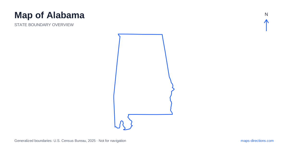
Alabama stretches from the uplands of the southern Appalachians to a short but important Gulf coastline. That north-to-south change is the key to reading its map: the terrain around Huntsville is very different from the broad lowlands near Montgomery or the tidal waterways around Mobile. Start by locating Birmingham in the north-central interior, Montgomery farther south, and Mobile near the coast. Together, those three cities provide a useful framework for understanding the principal road corridors, while the northern river valley and eastern ridges explain many of the smaller connections.
Understand the shape and the neighboring regions
On a regional map, Alabama sits between Mississippi to the west and Georgia to the east, with Tennessee across its northern edge. Florida occupies much of the land immediately south, leaving the southwest corner access to the Gulf. This arrangement matters when planning a coastal drive: reaching the beach does not simply mean continuing south from every inland town. The destination may require a substantial turn toward Mobile Bay or the Baldwin County shoreline.
The northern boundary is relatively straight, while rivers help define portions of other edges. An outline makes those borders easy to recognize, but it does not reveal all the interior barriers. Add terrain and water layers when you need to understand why a road curves, where a crossing is possible, or which side of a reservoir contains your destination.
Read the northern valleys and ridges
Huntsville, Decatur and Florence are useful reference points for the Tennessee Valley. The river and its reservoirs form a strong east-to-west feature across the north, although the road network does not follow every bend. A lakeside address can be close across the water and considerably farther by road. Select a particular bridge or town as an intermediate reference rather than judging distance from the shoreline alone.
Farther east, ridges and valleys extend toward the Appalachian region. Roads through this country often follow the easier ground between hills. Around the northeastern corner, a short line on a small map can conceal changes in elevation and winding approaches. Distinguish a through highway from a local access road before using it as the connecting leg of a longer drive.
Place the major cities in relation to the highways
A road map of Alabama becomes easier to follow once Birmingham is treated as a major junction rather than the center of every journey. Interstate 65 connects the northern corridor through Birmingham and Montgomery toward Mobile. Interstate 20 runs east from Birmingham toward the Georgia border, while Interstate 59 provides a different northeastern connection. Their shared western approach can make a simplified map look less distinct than the actual directional choices.
Montgomery is the state capital and another important decision point, with Interstate 85 extending northeast toward Auburn and the neighboring state. Tuscaloosa lies west of Birmingham, while Dothan serves the southeastern corner. These places belong to different travel corridors. An itinerary that includes all of them should be drawn as a sequence of legs, rather than treated as one straightforward north-to-south trip.
Follow the transition into the coastal plain
South of the central uplands, the landscape opens into the coastal plain. River valleys, agricultural land and smaller towns become important orientation features. The Black Belt is a geographic and historical region across part of this interior; it is not a single road or an administrative boundary that every map will outline. Use named towns such as Selma and Demopolis to place a journey through the area.
River crossings are particularly useful anchors on routes between these towns. A road that stays on one bank may continue away from the place you are trying to reach before finding a bridge. When comparing alternatives, trace the full path across the water and back to the destination. The shortest-looking approach on a statewide view may not be the most direct usable road connection.
Separate the bay, the city and the beach
The southwestern part of Alabama needs a closer map scale because Mobile Bay divides the urban and coastal landscape. Mobile occupies the western side near the bay's northern end, while communities such as Daphne and Fairhope lie on the eastern side. Gulf Shores and Orange Beach are farther south along the coastline. A booking described as being near the bay may therefore be in a very different setting from a beachfront address.
For arrival planning, identify the exact shore, the approach road and the final access point. A broad overview cannot show every neighborhood entrance or waterfront dead end. Coastal weather can also alter the practical use of a planned route, so road geometry should be kept separate from any assumption about current conditions. Allow the final local section its own attention instead of treating the highway exit as the destination.
Build a journey around connected regions
A practical first pass might group Huntsville and the northern valley together, Birmingham and nearby inland destinations in another cluster, and Montgomery or the coast as separate stages. This approach makes the amount of travel visible before individual attractions are added. It also helps avoid crossing the same metropolitan area repeatedly because stops were arranged by interest rather than location.
For an Alabama itinerary, compare the regional overview with a detailed map of each overnight base. Mark the actual entrance to accommodation, distinguish a city-center address from a suburban one, and check which riverbank or side of the bay each stop occupies. The outline above establishes the state's shape; the city, road and water relationships in this guide help turn that shape into a more realistic travel plan.