Map of Adelanto
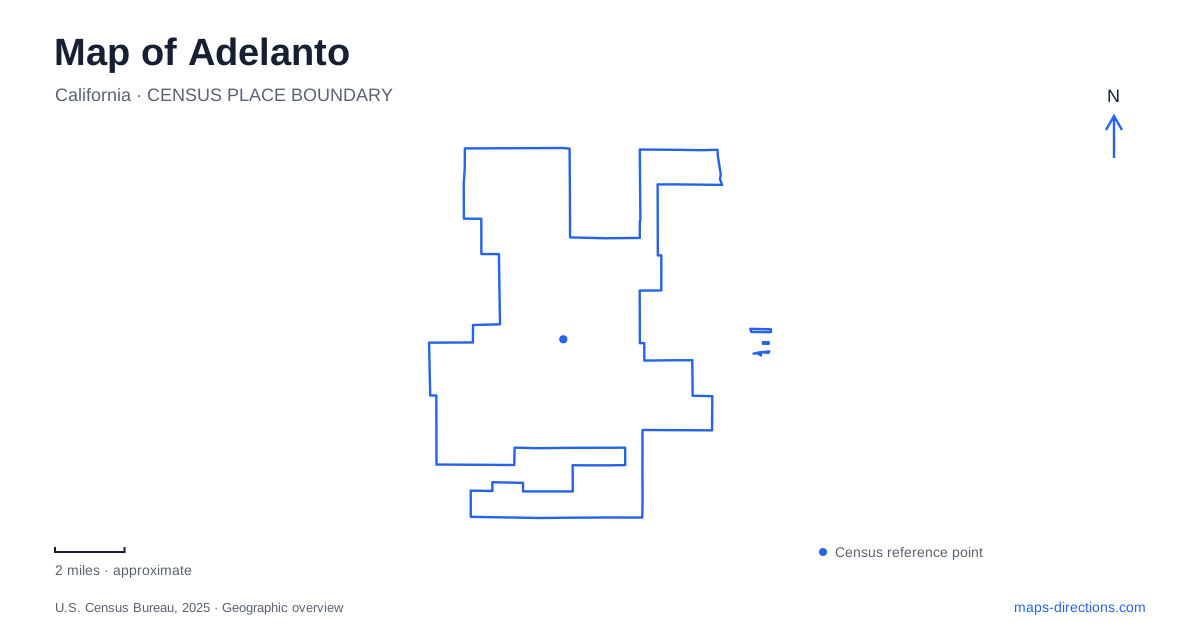
Street tiles load from OpenStreetMap when opened. The blue line shows the 2025 Census boundary.
- State
- California
- Population · July 2025
- 38,798
- Land area
- 52.9 sq mi
- Water area
- 0.0 sq mi
Adelanto occupies a part of the western Victor Valley where a city map can easily blend municipal streets, industrial property and large stretches of desert. The most useful starting point is to separate three things: the incorporated community, the airport district in neighboring Victorville, and the El Mirage recreation landscape farther west. They share a regional economy and road network, but they do not share one boundary or one set of access arrangements. Highway 395 and Air Expressway provide a recognizable local reference. The city's economic-development material identifies their intersection as a retail-development location. That makes the crossing useful for orientation, while the broader street map explains how residential areas and other destinations spread away from it. A commercial project name containing the words City Center should not be mistaken for a definition of the entire municipality.
A planned community before incorporation
The city's account dates its founding to 1915 and credits E. H. Richardson, whose work on the electric iron helped finance his land purchase. He divided the property into one-acre plots and envisioned a planned community. His ambitions later included housing and a respiratory hospital for veterans affected by the First World War.
The hospital vision was never fully realized, an important distinction between an early development proposal and a building that a visitor could locate today. The land division nevertheless left a foundation for the settlement. In this case, the map represents the partial outcome of a plan rather than the completion of every promise associated with it.
Adelanto's agricultural phase also differs from the image of empty desert that a broad regional map can suggest. The official history describes orchards producing fresh fruit and cider, followed by poultry ranching during the Depression. Those land uses preceded the later military and industrial economy.
Incorporation came in 1970, long after the original subdivision. The community adopted a city charter in 1992. These dates refer to changes in government, not to the first appearance of houses, farms or roads.
The airport relationship across a city boundary
The former George Air Force Base played a major role in the surrounding valley, but its civilian successor should be located accurately. Victorville identifies Southern California Logistics Airport, usually abbreviated SCLA, in its northwestern corner. The airport occupies part of the former military property and supports a specialized aviation and logistics district.
The immediate civilian predecessor, Southern California International Airport, opened in October 1994. That history explains why older maps and property records may use military or earlier airport names for parts of the same general area. It does not make the airport an ordinary downtown passenger terminal.
For Adelanto map readers, the practical point is geographical: proximity and economic influence are different from municipal ownership or location. Air Expressway evokes the regional aviation connection, but a destination at SCLA needs its own facility address. A large airport outline cannot identify a particular business entrance, and it should not be treated as public space simply because it is visible on an aerial image.
El Mirage is a separate western landscape
San Bernardino County places the community of El Mirage west of the city and south of its namesake dry lakebed. The county profile distinguishes that settlement from the recreation area and from the airfield. Three places carrying the same name can therefore appear on one regional map while serving very different purposes.
The Bureau of Land Management administers the El Mirage off-highway recreation area, which encompasses more than 27,000 acres. Its scale is far larger than a neighborhood park. The agency describes a range of motorized and other recreation activities, but the managed area is not a blanket invitation to use every surrounding parcel.
A trip beginning in Adelanto should therefore identify the recreation-area entrance and intended activity zone before treating a desert track as a through road. Property boundaries, designated routes and lakebed conditions provide information that a simple road line cannot supply.
Why a dry lake is not always dry
The name dry lakebed describes a recurring landscape condition rather than a permanent guarantee. The Friends of El Mirage visitor guidance explains that drying leaves a hard clay surface and that the lakebed closes when wet or muddy to protect that surface. BLM directs visitors to obtain current conditions and closure information.
This is a distinctive map limitation in the western desert. A broad pale area may look like an easy travel surface from above, while recent weather changes whether it can be used at all. The appropriate interpretation depends on the managed recreation area, not only the appearance of the terrain.
The map of Adelanto consequently works best at two scales. Close in, it distinguishes the highway crossing, local streets and individual properties. Zoomed out, it separates the incorporated community from the aviation district and the El Mirage landscape. Holding those scales together reveals a place shaped by planned settlement, farming, military influence and desert recreation without collapsing them into one destination.
Map and statistics: U.S. Census Bureau, 2025 Gazetteer, January 2025 generalized place boundaries and Vintage 2025 population estimates. Local references: City of Adelanto Economic Development; City of Victorville; San Bernardino County; Bureau of Land Management; Friends of El Mirage. Article prepared by Maps & Directions.